01
Project Diagnosis
We review the commodity, location, history, licences, available maps and client objective to define the right technical question before spending on field activity.
Who We Are
GeoSync brings together expert geologists, mining engineers, remote sensing specialists and business strategists, united by a single purpose: unlocking mineral potential with technical confidence.
Our Story
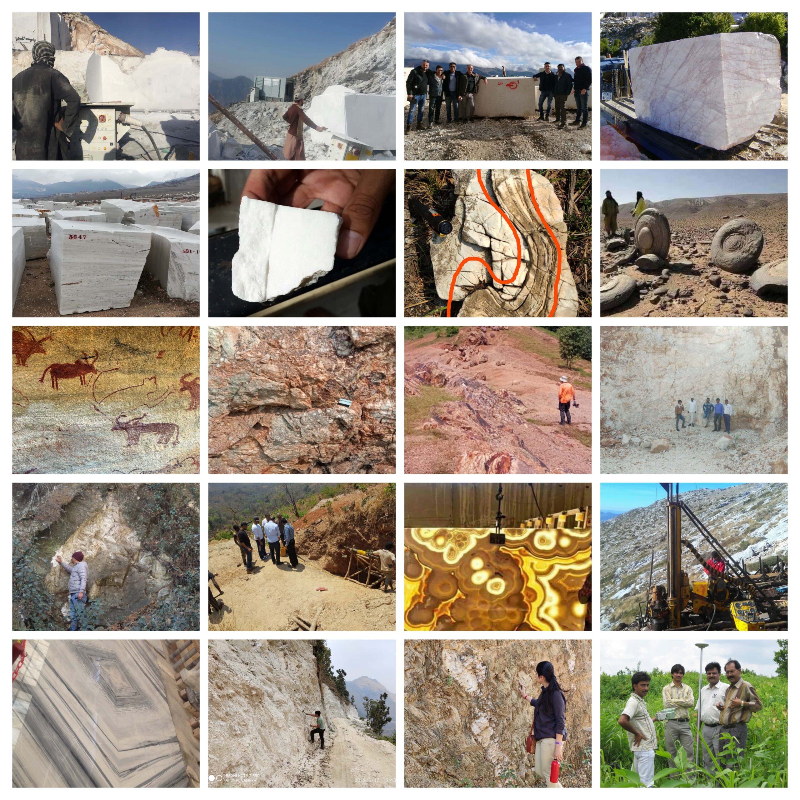
GeoSync is a multi-activity organisation with a core focus on geological and mineral consultancy. We support mineral discovery, development, geophysical studies, commodity evaluation and strategic partnerships between Indian and international companies.
Our strength is the way we connect field geology with modern geospatial intelligence, project economics and practical execution. That means clients receive more than observations: they receive a clear technical pathway, risk view and next-step recommendation.
From Rajasthan's industrial minerals and dimensional stones to overseas base-metal and precious-metal opportunities, our approach stays consistent: understand the ground, validate the data, protect the client's capital and communicate decisions with clarity.
Exploration strategies built on geological process understanding, remote sensing and field validation.
Support for joint ventures, government liaison and international project coordination.
Applied geological research, training and technical documentation for stronger project decisions.
Our Process
A disciplined sequence that keeps geology, data, field reality and commercial decisions connected.
We review the commodity, location, history, licences, available maps and client objective to define the right technical question before spending on field activity.
Satellite imagery, regional geology, structural interpretation and historical datasets are integrated to identify targets, gaps and priority zones.
Our team verifies targets through mapping, sampling, surveys and ground checks so the model is tested against real geological evidence.
Validated observations are converted into deposit logic, exploration plans, resource pathways, mining assumptions and development options.
We deliver clear recommendations for investment, drilling, development, due diligence or pause decisions, backed by data and field reasoning.
Core Capabilities
Metallic, non-metallic, dimensional stone and petroleum deposit targeting.
Drone photogrammetry, multispectral analysis and geospatial database structuring.
Mine planning, operational review, due diligence and project execution support.
Resource reporting, technical audits and independent project review.
Work With Us
Whether you need exploration support, technical due diligence or strategic project advisory, our team is available for a direct conversation.